Saturday, September 16th, 2017

Hiking: Emerald Ridge Trail

Share

Hiking: Emerald Ridge Trail

  • Westside Road Trails, Mount Rainier National Park
  • 360-569-2211
  • $25 single vehicle fee
  • For parking and current conditions, click here.
  • Difficulty: Moderate
  • Distance, round trip: Approximately 9 road miles + 7 trail miles = 16 miles
  • Elevation gain: 2100 feet
  • Hiking time, round trip: 8-9 hours

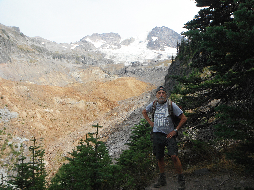
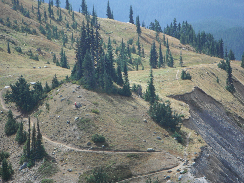
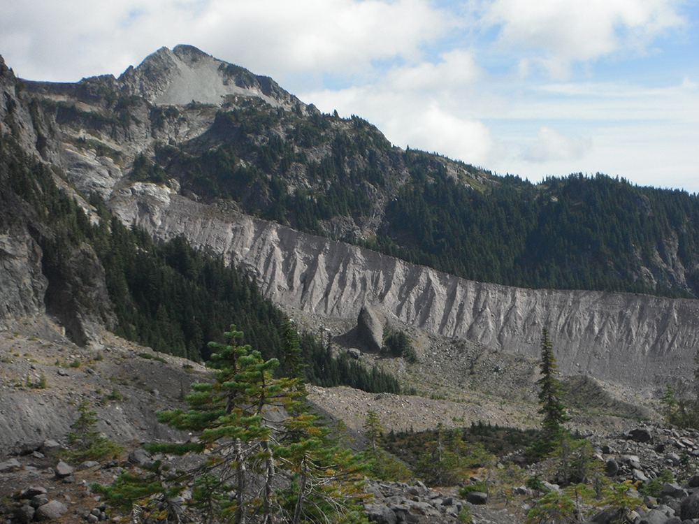
Emerald Ridge Trail is a 14 mile out and back trail located near Longmire, Washington that features beautiful wild flowers. The trail is primarily used for hiking and mountain biking, July until September, with views of andesite at 1.5 into the trail. These hexagonal columns were formed during the cooling process after hot lava flowed through the valley thousands of years ago.

This week, Chatter Vulture of Peaks and Pints approved “Them Vultures” hiking group, hiked Emerald Ridge. Here are a few picks he snapped. …

Hiking-Emerald-Ridge-Trail-Mount-Rainier-columnar-basalt-formations
“Check out these columnar basalt formations along the South Puyallup River — ‘columnar,’ because it occurs in ‘columns,’ and ‘basalt,’ because it’s not ‘ba-pepper.’ Simple, see?”


Hiking-Emerald-Ridge-Trail-Mount-Rainier-Tahoma-Glacier
“Here I am with the Tahoma Glacier in the background; said glacier being the origin of The South Puyallup River.”


Hiking-Emerald-Ridge-Trail-Mount-Rainier
“Emerald Ridge Trail at its high point, around 5,600 feet. To the right, looking down into the South Puyallup River, and to the left, though not in the pic, would be the Tahoma Creek drainage. The red-shirted guy near mid photo is my hiking buddy, Ron Elliff — not a Vulture, but an awesome trail mate nonetheless.”


Hiking-Emerald-Ridge-Trail-Mount-Rainier-Pyramid-Peak
“Pyramid Peak and the moraine of The South Tahoma Glacier; said glacier being the origin of Tahoma Creek.”